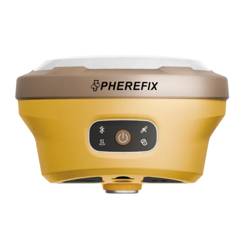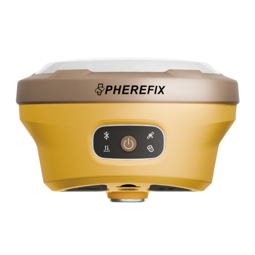
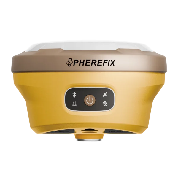
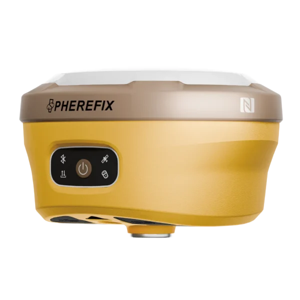
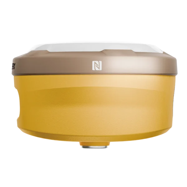
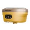
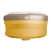
SphereFix SP30SE: The Future of Lightweight Surveying
The SphereFix SP30SE isn’t just a DGPS machine; it’s a productivity tool designed to eliminate field fatigue. By combining high-precision GNSS with Augmented Reality (AR), it allows you to visualize your stakeout points in the real world, turning complex layouts into a simple “walk-to-the-point” task.
AR Visual Stakeout: See Your Points in Real-Time
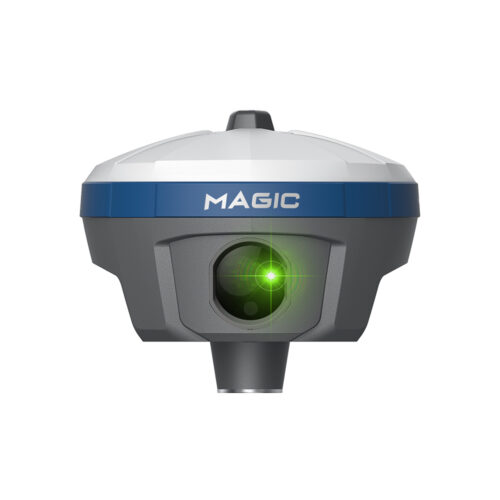
The SP30SE features an integrated high-performance camera at the bottom. When you are within 2 meters of your target point, the AR mode activates on your controller, overlaying a digital flag onto the live video feed. This eliminates the “spinning around” often associated with traditional stakeouts.
60° IMU Tilt: Accuracy Without the Level
With the built-in 5th generation IMU (Inertial Measurement Unit), you no longer need to keep the pole perfectly vertical. Measure building corners, wall bases, and slopes with up to a 60° tilt while maintaining centimeter-level accuracy. It is calibration-free, meaning you can start surveying the moment you turn it on.
1408 Channels & NavIC Support
Optimized for the Indian subcontinent, the SP30SE tracks all 1408 satellite channels. It provides full support for NavIC (IRNSS), ensuring that you have maximum satellite availability even under dense foliage or in high-rise urban areas like Mumbai or Delhi.