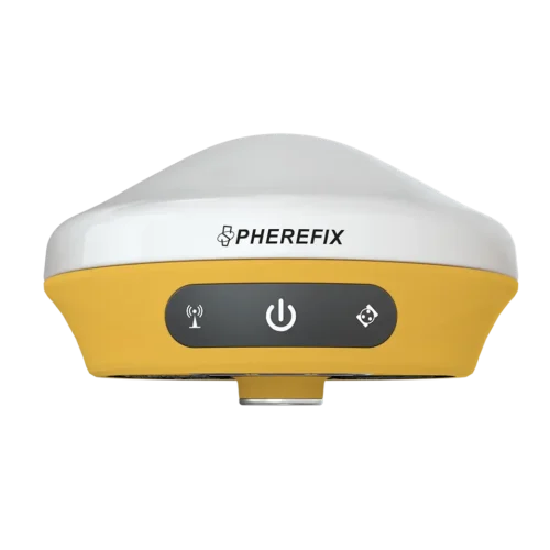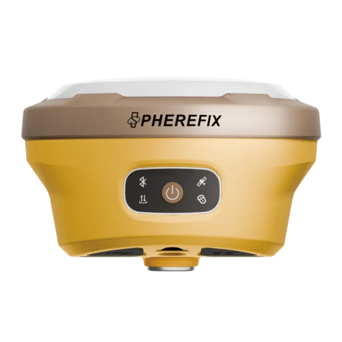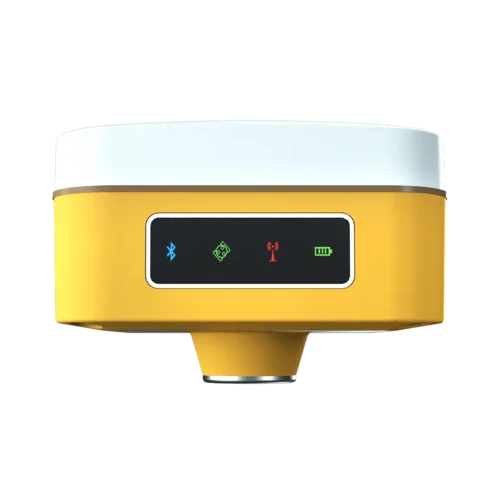
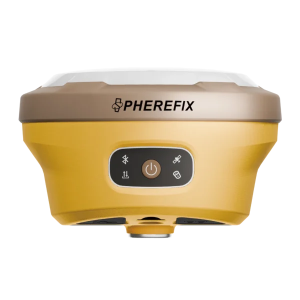
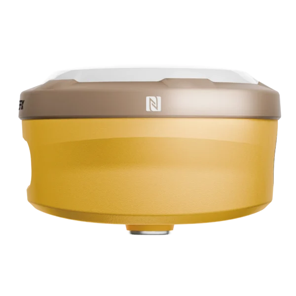
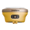

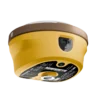

SphereFix SP30: What You See Is What You Measure
The SphereFix SP30 redefines the surveying workflow by solving the most common field challenge: reaching inaccessible points. By integrating a high-precision laser and an AR camera into a premium GNSS receiver, the SP30 allows you to survey faster, safer, and smarter across Indian infrastructure and topography projects.
Camera-Assisted Laser Surveying
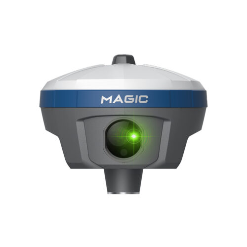
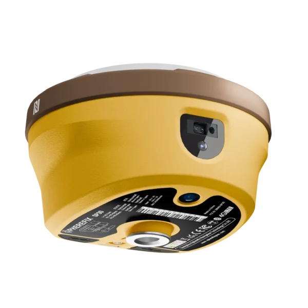
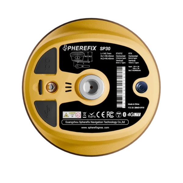
No need to risk your safety measuring busy highways, deep trenches, or high walls. The SP30 is equipped with a high-precision, millimeter-level laser ranging module integrated tightly with the IMU. Simply point the receiver at your target, and the camera-assisted laser will instantly record the exact 3D coordinates from a safe distance, even in complex environments.
AR Real-Scene Stakeout
Say goodbye to staring at a 2D map and walking in circles. The SP30 features a professional ultra-wide-angle bottom camera that enables AR (Augmented Reality) Stakeout. The field controller overlays a digital pin onto a live, high-definition video feed of your actual surroundings, guiding you directly to the stakeout point. This intuitive visual process cuts stakeout time in half.
1408 Channels & NavIC Compatibility
At its core, the SP30 is a surveying powerhouse. It utilizes a next-generation GNSS engine with 1408 channels, tracking all major global constellations (GPS, GLONASS, Galileo, BeiDou) alongside India’s regional NavIC (IRNSS) system. This ensures rapid FIX times and unparalleled signal stability under heavy tree canopies or urban canyons.
Built for the Indian Surveyor
-
60° IMU Tilt Compensation: Take accurate measurements without leveling the pole. The internal IMU instantly corrects coordinate data for pole tilts up to 60 degrees.
-
Ultra-Long Endurance: The high-capacity internal battery powers the receiver for over 24 hours continuously, guaranteeing you never run out of charge during a long shift.
-
Total Connectivity: Work flawlessly as a Base or Rover. The SP30 is equipped with 4G Full-netcom and a powerful built-in 5W digital radio, offering massive transmission ranges without the need for an external radio.