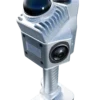
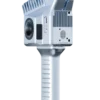
SphereFix Sphere360: Walk, Scan, and Create Digital Twins Instantly
Traditional 3D laser scanners require heavy tripods and multiple setup stations, while drone LiDAR cannot map indoor or underground spaces. The SphereFix Sphere360 Handheld LiDAR Scanner bridges this gap. It empowers Indian surveyors, architects, and engineers to walk through dynamic environments and generate high-density, survey-grade 3D point clouds in real-time.
High-Performance SLAM & Multi-Mode Mapping
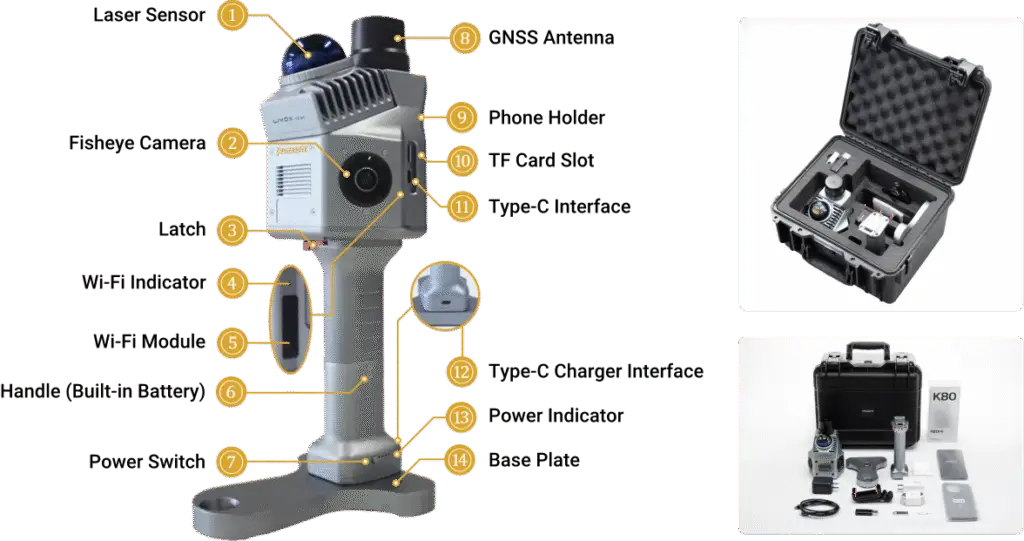
At the core of the Sphere360 is an advanced SLAM (Simultaneous Localization and Mapping) algorithm. This allows the scanner to understand its position in space without relying solely on GPS. Whether you are mapping deep underground mines, multi-story indoor parking lots, or complex building facades, the Sphere360 continuously stitches the data together as you walk. For outdoor projects demanding absolute global coordinates, simply switch to RTK-SLAM or PPK-SLAM using the built-in multi-constellation GNSS module.
True-Color, High-Definition 3D Capture
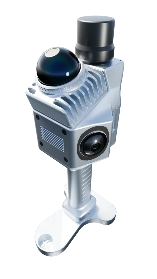
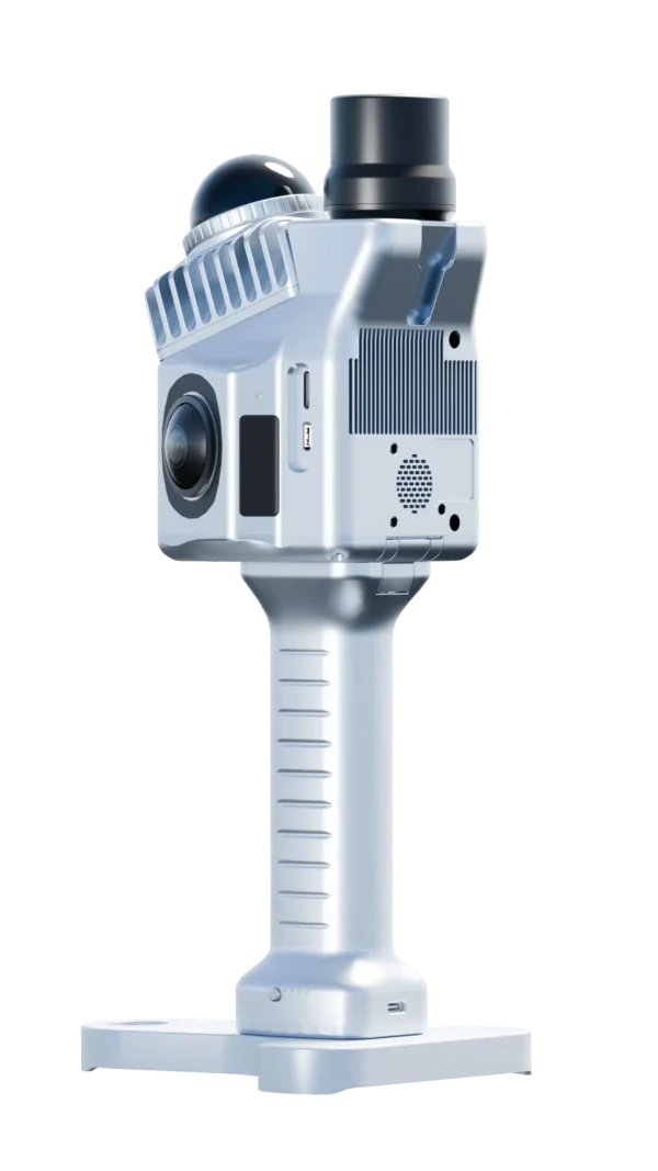
Raw point clouds are great, but true-color point clouds bring digital twins to life. The Sphere360 features two integrated 20MP cameras with an ultra-wide 200° Field of View. Through precise time-synchronized scanning, the system automatically colorizes your LiDAR data in true-color, making feature extraction for BIM (Building Information Modeling) and architectural drafting incredibly intuitive.
Ultra-Lightweight “Grab-and-Go” Design
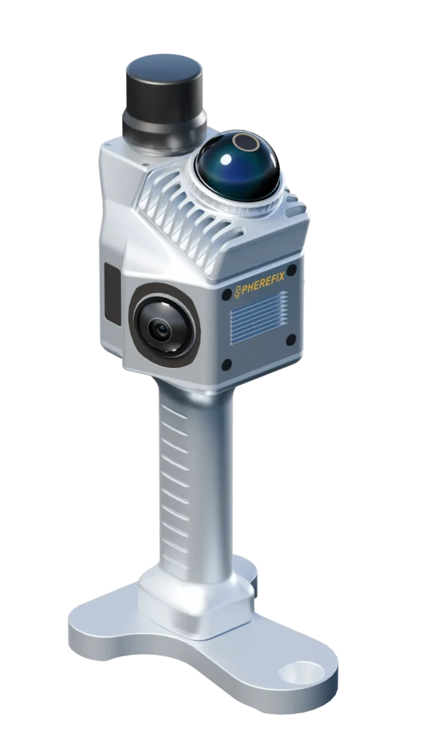
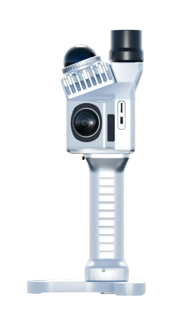
Weighing exactly 1.0 kg, the Sphere360 is designed for extreme mobility. It drastically reduces surveyor fatigue, allowing your team to map thousands of square meters in a single shift. Powered by a 12-20V battery system with low power consumption (<25W), it ensures you have the endurance to map sprawling industrial plants, low-canopy forests, or dense urban alleyways without interruption.
End-to-End PointFlow Software Workflow
Capturing the data is only half the battle. The Sphere360 integrates seamlessly with the PointFlow processing platform. This provides a tight fusion of LiDAR, GNSS, and INS data, delivering a streamlined workflow from field acquisition to final refined 3D point cloud export (compatible with all major CAD and BIM software).